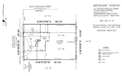
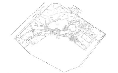
Survey cad drafting can also be done digitally for more precise results and better sharing of data. The main objective of the digital survey is to provide the basics of digital surveying and mapping of the earth surface. Digital mapping can be done using a total station, GPS, and mapping software. We use the latest technology for surveying in the field such as high order GPS, Robotic Total Station and aerial and terrestrial scanners to map an area, making computations and taking photos as proof for land surveying. Our team utilizes advanced CAD drafting software to create very detailed and accurate draft plans for the project.
Surveying plays a very important role to understand the dynamics of the physical world around the site of the project. It plays an important role in the development of the country. It also helps in the planning and designing of land subdivisions by the final construction of roads, utilities, and landscaping.
ALTA/ACSM Drafting Includes
- 100% Accurate Linework/ Mapping
- Keep all Client's Standards
- Rectify Boundaries
- Tables & Blocks Creation
- Zoning & Labeling
- Easements & Utility Mapping
Other ArcVertex's Services

How It Works
Fast Delivery | High Quality
Upload Your File
Our Experts at Work
Revision If Required
Delivery Within 24Hrs*
- We have experts for surveying in fieldwork as well as in the office who have experience in the same field for many years.
- We provide our services at a very affordable price by our customers.
- For any queries, you can contact us anytime without any hesitation


